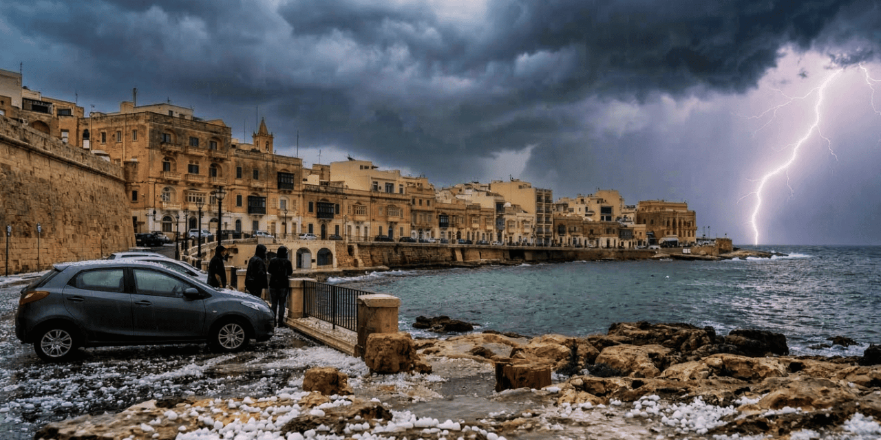
Residents and travelers in the Maltese Islands should prepare for a shift in weather as an area of low pressure, originating over France and the Gulf of Genoa, intensifies and moves eastward across the Mediterranean. The latest forecast indicates a period of unstable conditions characterized by isolated thundery showers and the potential for gusty winds and hail.
What to Expect Today
While the day may start with unsettled skies, the general outlook suggests that the thundery and gusty activity will eventually become more isolated. As the low-pressure system moves further east, the weather is expected to improve, gradually becoming partly cloudy later in the day.
Temperature and UV Outlook Despite the potential for stormy intervals, temperatures will remain relatively mild:
-
High: 17°C
-
Low: 12°C
-
Feels Like: 17°C
-
UV Index: 5 (Moderate) — Even with cloud cover, protection is recommended if spending time outdoors between showers.
Wind and Marine Conditions
The wind will start as a Light Southwest, eventually shifting and increasing slightly to a Light to Moderate West Southwest. For those heading near the coast, the sea remains Slight with a negligible swell, though some low Northwest swells may be present in the western areas initially. Visibility is generally rated as Good, though it may drop to Moderate during heavier downpours.
Staying Informed
As the weather transitions from winter to spring, localized hail and thunder are not uncommon in Malta. It is advised to secure any loose outdoor furniture and stay updated with the latest live reports.